
Sagaegawa, Yamagata Prefecture
Class III-
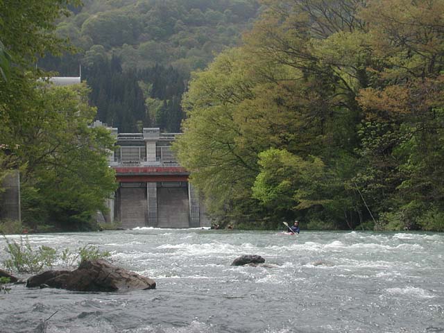
Logistics: Mapple 39 H1. This run emerges from the base of a dam (photo) northwest from the City of Yamagata along Highway 112. Area Map.
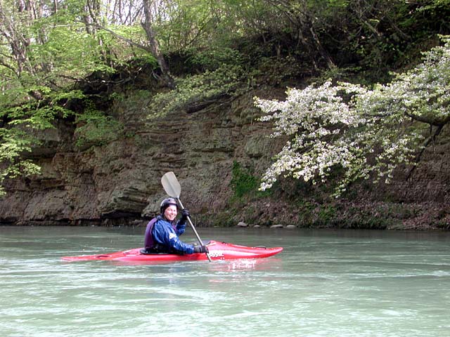
Scenery: The river passes through a rural landscape with several houses and fields. Occasionally the river passes through a forested area (photo), but the banks are hardened with concrete in some spots.
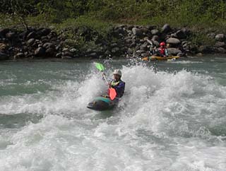 Description: The Sagaegawa is a good run for those learning to kayak yet still provides some great play spots for the more advanced paddlers (video clip, 3.0 MB). The run is characterized by a swift current and fairly continuous rapids. Advanced paddlers can attack the holes while those looking for an easier run can safely avoid them.
The most challenging drop on the run comes near the end shortly after passing under one of the highway bridges (video clip, 2.3 MB). Here the river drops approximately 2 meters over a set of ledges that can form a big wave train.
A low head dam that can be adjusted to different heights is a hazard that can be portaged or sometimes run.